|
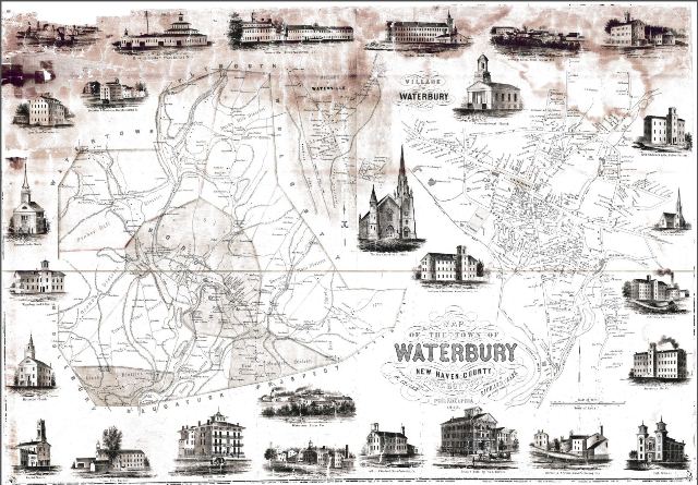
 1852 Map of Waterbury, Connecticut | 1852 Map of Waterbury, Connecticut
Historic map from 1852 containing pictures, landmarks, and addresses.
Map Updated: N/A | View Full Size Map
(9.3 MB) |
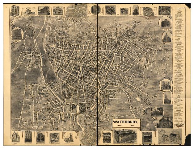
 1899 Map of Waterbury, Connecticut | 1899 Map of Waterbury, Connecticut
Historic map from 1899 containing pictures, landmarks, and addresses.
Map Updated: N/A | View Full Size Map
(29 MB) |
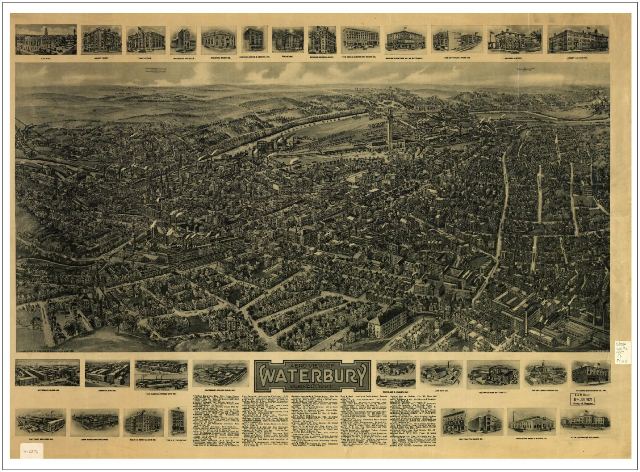
 1917 Map of Waterbury, Connecticut | 1917 Map of Waterbury, Connecticut
Historic drawing of an aero view of Waterbury, containing landmarks and addresses.
Map Updated: N/A | View Full Size Map (29 MB) |
|